Underwater Monuments: How Submerged Sites Are Rewriting Human History
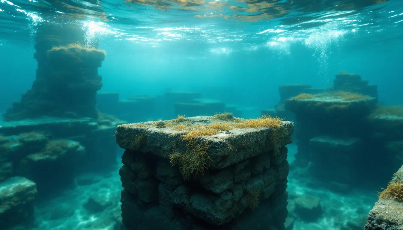
For centuries, terrestrial archaeology has shaped our understanding of human origins, leaving parts of the historical record hidden. At the end of the most recent ice age, global sea levels increased by around four hundred feet. According to the University of Wisconsin–Milwaukee, this climatic shift submerged not just coastal outlines but entirely low-lying terrestrial environments; Patagonia, for example, is reported to have experienced significant coastal flooding from the inundation.
Because early human populations frequently concentrated along rivers, coastlines, and fertile basins, the rising waters swallowed millennia of habitation data. Today, these submerged ancient sites are not merely lost mythological cities. They function as highly vulnerable, non-renewable time capsules that preserve organic materials and structural data often destroyed by exposure on land. By diving into these flooded environments, researchers are actively challenging and refining established timelines of human prehistory, migration, and international trade.
Key Takeaways
- Geological Impact: Post-glacial sea level rise of approximately 400 feet flooded vast prehistoric landscapes, preserving vital chronological data.
- Shifting Timelines: Submerged artifacts, ranging from early agricultural evidence in Britain to ancient DNA in Mexican cenotes, are challenging and refining established timelines of human migration and technological milestones.
- Vulnerability: Underwater heritage sites are non-renewable public resources facing immediate threats from coastal development, looting, and biochemical deterioration.
Why Is So Much of Human History Underwater?
The geological mechanisms that flooded prehistoric settlements created unique underwater environments that capture distinct chronological windows. An example of a drowned landscape is Doggerland, a vast region in the North Sea that once formed a solid landbridge connecting the British Isles and mainland Europe.
Resolving the Submersion Timeline
To understand the chronological window of these lost worlds, researchers must piece together data from multiple institutions. Based on findings documented by DigVentures (2016), a submerged site in the North Sea known as Area 240 dates back 10,000 years, yielding discoveries as substantial as a mammoth skull hauled ashore by archaeologists. However, this landmass—rich with evidence of both human and Neanderthal activity—did not vanish overnight. Research from the University of Wisconsin–Milwaukee indicates that Doggerland remained above water until approximately 6500 BC. By synthesizing these timelines, it becomes clear that early populations inhabited and traversed this specific terrestrial bridge for millennia before post-glacial flooding finally reclaimed the landscape.
The inundation of Doggerland transformed wandering terrestrial tribes into island populations, severing cultural and economic ties while burying their camps beneath deep marine sediments. This submersion dynamic, repeated across the globe at the end of the Pleistocene epoch, is exactly what created the primary environments that marine archaeologists target today.
How Are Prehistoric Time Capsules Rewriting Human History?
Because underwater environments lack the oxygen that accelerates decomposition on land, they often preserve organic materials with clarity. This unique preservation has led to several discoveries that have fundamentally changed established historical frameworks.
Paradigm-Shifting Discoveries
| Site & Location | Age of Finds | Paradigm-Shifting Discovery |
|---|---|---|
| Hoyo Negro (Quintana Roo, Mexico) | 12,000–13,000 years old | Preserved DNA providing evidence that supports early Americans descending from a single Asian migration group |
| Page-Ladson (Florida, USA) | 14,500 years old | Stratigraphy yielding evidence of early mastodon butchery |
| Bouldnor Cliff (Isle of Wight, UK) | 8,000 years old | Ancient string and evidence of wheat arriving 2,000 years early |
In the Hoyo Negro cenote in Quintana Roo, Mexico, researchers discovered the complete skeleton of a young woman. According to the University of Wisconsin–Milwaukee, the underwater environment preserved DNA from her remains. Subsequent genome analysis supported the hypothesis that the earliest Americans descended from a single group that migrated from Asia.
River environments offer similarly deep historical records. The Page-Ladson site on the Aucilla River in Florida has yielded 7,000 years of preserved stratigraphy. Excavations there uncovered definitive evidence of mastodon butchery dating back 14,500 years, pushing back the timeline of human occupation and hunting practices in North America.
Sometimes, monumental archaeological finds emerge from pure chance. Bouldnor Cliff lies submerged 11 metres below the Solent, just off the Isle of Wight. DigVentures (2016) notes that the 8,000-year-old site was discovered only when a lobster was spotted throwing worked stone flints out of its underwater burrow. Excavations of the site recovered ancient string, alongside evidence of wheat that researchers previously thought had not arrived in Britain for another 2,000 years.
What Can Submerged Villages and Trading Hubs Reveal?
As human societies transitioned from nomadic hunting to agriculture and structured commerce, their settlements grew in scale. When water levels rose over these later eras, entire structured villages and classical trading hubs were swallowed intact, creating massive underwater monument complexes.
Circum-Alpine Lake Dwellings
In Europe, prehistoric populations frequently built densely packed villages along lake shores. A rescue excavation on Lake Biel in Switzerland, beginning in 1988, documented 25,000 square metres of the lake floor. Researchers note that this sweeping survey revealed 20 distinct Neolithic villages built in the exact same location between 3840 and 2688 BC, illustrating long-term, multi-generational habitation strategies that would be invisible without underwater mapping.
Lost Cities and Commercial Vessels
Moving into the classical era, underwater archaeology has resurrected major economic centres previously thought to be myths. The Egyptian city of Thonis-Heracleion was referenced in a handful of ancient texts and inscriptions, leading many historians to assume it had either been completely lost or had never existed at all. This assumption held until the city was rediscovered by Franck Goddio in 2000. According to DigVentures (2016), subsequent efforts have recovered a wealth of artifacts that fundamentally inform modern understanding of trade networks between Egypt and the rest of the Mediterranean.
River navigation was equally crucial to ancient commerce, and sunken vessels act as closed historical capsules of daily trade. In 2011, researchers discovered an almost completely intact 102-foot-long Roman barge at the bottom of the Rhône river at Arles, France. Preserved in the river silt, it is recognized as a trading vessel used to carry merchandise for commerce, offering granular insights into the logistics of the Roman supply chain.
How Do Archaeologists Excavate Underwater Sites?
Accessing and mapping these submerged zones is an extreme technical challenge, requiring specialized gear, complex logistical planning, and rigorous safety frameworks.
Engineering Visibility and Access
Investigating the circum-Alpine lake dwellings in Europe has been conducted with increasing regularity by archaeologists since the 1970s. Because the lakes experience heavy algal blooms in the warmer months, excavations there have to be carried out in the dead of winter. Reports indicate that these freezing conditions required the development of specialized dry diving suits. To combat the pervasive silt that obscures the lakebed, researchers also implemented methods such as water-jet pipes to clear sediment and improve visibility at the excavation sites.
Regulatory and Safety Frameworks
Operating in deep or fast-moving water inherently involves high risk. According to a resource published by the Marine Protected Areas Federal Advisory Committee, underwater archaeology generally falls under the definition of scientific diving. In the United States, this classification receives certain exemptions from the Occupational Safety and Health Administration (OSHA) regulations that govern standard commercial underwater work sites. However, these exemptions require that archaeologists and scientific divers operate under strict, formalized institutional standards meeting or exceeding standards set by the American Academy of Underwater Sciences (AAUS) or similar bodies to manage the life-support hazards of deep-water excavation.
Why Are Submerged Sites at Risk?
The sites currently mapped by archaeologists represent only a fraction of the historical data hidden beneath global waters, and these sites are under continuous threat from both human and environmental pressures.
A resource published by the Marine Protected Areas Federal Advisory Committee classifies underwater archaeological sites as non-renewable resources. Once the physical context of a sunken ship, a flooded village, or a prehistoric hunting camp is disturbed, the chronological data is permanently lost. These sites often consist of public property resting on public bottomlands, serving as a heritage resource owned collectively by the people.
Despite their remote locations, submerged sites are highly fragile. Their informational integrity is constantly vulnerable to biochemical deterioration as oceans warm and acidify. Furthermore, modern infrastructure projects like coastal development, dredging, and pipeline laying can obliterate unmapped sites in hours. When combined with direct human impacts such as illegal looting or inadvertent site damage from anchoring and trawling, the window to study these underwater monuments is rapidly closing.
Conclusion
The final frontier of human anthropology lies beneath the waves, particularly regarding the origins of global seafaring. Data from the University of Wisconsin–Milwaukee indicates that early human migrations to Australia and Japan could not have happened without the use of rafts or boats. Even more disruptively, early Paleolithic tools—which some researchers attribute to archaic hominins—have been found on Crete and the Ionian Islands. This suggests that Homo sapiens may not have been the first seafarers at all. Proving such radical theories will require looking past terrestrial shores and systematically mapping the submerged continental shelves where the true birthplaces of maritime technology remain hidden.
FAQ: Understanding Underwater Archaeology
When did the first underwater excavation take place?
The field is much older than modern scuba gear. Early underwater archaeological expeditions took place in the mid-19th century on Swiss lakes. Alphonse Morlot, a Swiss geologist, wore early diving equipment to explore the lakebed. Because the equipment's design prohibited him from bending down to pick up artifacts manually, Morlot had to use tools to scoop ancient materials from the lake floor.
Do archaeologists have to disturb a site to study it?
Not necessarily. Underwater archaeology projects are frequently categorized by their physical impact. They may be non-intrusive, a method used when no excavation or physical disturbance of the site is conducted, relying instead on sonar, photography, and mapping. Conversely, they can be intrusive, which requires careful manual excavation alongside the selected recovery and chemical conservation of historical material.
What qualifications are required to become a professional in this field?
Operating as a marine archaeologist requires specialized academic and practical training covering field data collection, historical interpretation, and site preservation. Advanced degrees, such as a Master's or doctorate, are often required for a professional job in the field. According to a resource published by the Marine Protected Areas Federal Advisory Committee, these specialized advanced degrees are available from various universities worldwide that offer programs meeting the necessary scientific diving and academic standards.